COUNTRIES


CITIES AND LANDMARKS


Make your own outline and save it on MAPfrappe for free! Or, view one of the hundreds of previously saved outlines from the MAPfrappe index
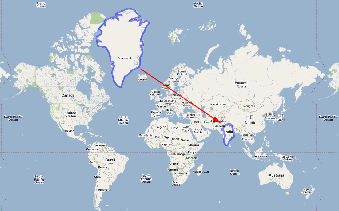
 The size and shape of areas on Google Maps is distorted throughout the map because it uses a variant of the Mercator Projection. The scale of the distortion increases from the equator to the poles (see right figure). Areas appear relatively larger at the poles and smaller at the equator.